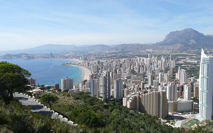


 My name's Alex and this is my website all about Torrevieja in Spain. Register now for free to talk about General property discussion in Torrevieja and much more!
Lari wrote on Fri Oct 22, 2021 9:58pm:
Check out Google Earth.
Draw a line East/West from the main road - Crevillente Road (which does flood in the areas mentioned) and check out the elevation profile - draw the line and save - right click on line and select 'show elevation profile'.
Read more...
Do the same for north/south.
I think you will find there is no appreciable elevation change throughout the area.
I lived less than half mile away for 5 years and never witnessed nor heard of flooding in the area.
.
Thanks for this useful information. I will certainly take a look.