From time to time, members ask about the best way to drive from Calais down to this area. Having just arrived back home this afternoon, having driven the route, I thought I would post my findings while they are still fresh in my mind!
Geoff.
Read more...
Calais to Costa
Blanca South
Overview.
In August 2018 (for
the umpteenth time!) I drove from Calais to the Alicante area. The route I took
is the result of years of trying various options, and fine-tuning, and nowadays
is very successful. It takes in fast motorways, fast trunk roads, good quality
rural main roads and some spectacular scenery. I use a sat nav app on my
smartphone, called “Waze” which I find is better than any of my previous
TomToms, Garmins etc.
How I did it.
As I was leaving
Calais I set the satnav to Évreux – paying tolls. This took me along to Rouen
and over the Pont Mathilde bridge and down a shortish section of motorway
before turning off towards Évreux. Shortly before Évreux, I reset the satnav to
Tours – avoiding tolls. This took me down past Dreux, Chartres etc (look out
for the spires of the beautiful Chartres Cathedral on the horizon in front of
you) and onto the N10 (later D910) towards Tours. Then about 10 km before
Tours, I turned round to the right – blue signpost “Bordeaux (peage)” and went
out onto the A10/E5 motorway, joining it at Junction 19. I stayed on the A10 as
far as Junction 30, where I exited following the green signs for “Angôuleme”
and took the N10 trunk road right down to about 30 km before Bordeaux, where
you go onto a free section of the A10 motorway. Approaching Bordeaux, I
followed the green signs for “Bayonne”, which took me around the Bordeaux ring
road and onto the A63 signposted “Bayonne & Mont de Marsan”. I continued on
the A63 down to Junction 18 where I exited onto the D834 towards Mont de
Marsan. As soon as I was on that road, I set the satnav to Oloron Sant-Marie,
this being the town where you first see signs for places in Spain. Coming into
Oloron Sant-Marie, I followed the signs for “Saragosse”/“Huesca”/”Tunel de
Somport”. I followed this road up the lower slopes of the Pyrenees to an
altitude of 1000 metres (stunning scenery), then entered the (8.6 km long)
Tunel de Somport. At the far end of the tunnel, I followed the signs for
“Jaca”, then “Huesca”. This ensured that I got onto the superb (toll-free) A23
“Autovía Mudéjar”, which passes Huesca, Zaragoza and goes right on down through
Spain past Teruel and right down, nearly into Valencia. Once I was on the A23,
I set the satnav for my home address – no tolls. This took me down the A23 and
round the Valencia ring road. After passing Valencia, eventually the road
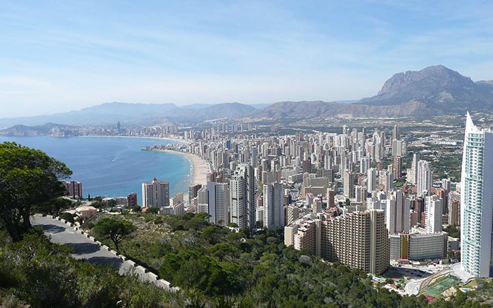
splits – left for the AP7 to Alicante, or right for the A7 to Alicante. My
satnav took me to the right, this being the toll-free route. (I would only
recommend the AP 7 for folks who want to get to the northern Costa Blanca –
Gandia, Denia, Benidorm etc). For the southern Costa Blanca, it is just as
quick to use the free A7 – later A35 – later A31, and down towards Alicante etc
that way.
Tolls/ Distance/Driving time.
I paid a total of €22.80
altogether for the whole journey – Calais to home. This is not bad when you
consider that it is possible to pay at least €160 in tolls on some routes that
people recommend. Distance about 1850 km. Driving time about 21 hours. Two
overnight stops, this time at Angôuleme & Zaragoza. I just drive until I
feel tired, then go on Booking.com and look for a hotel for around €50 to €60.
Speed in France.
There are speed
cameras everywhere in France, and they’re not always all that conspicuous. Also
bear in mind that from 1st July 2018, for any road which does not
have physical separation between the carriageways, they have reduced the speed
limit from 90 kph to 80 kph and they are enforcing it, despite not yet having
changed the signs from 90 to 80!
Wintertime.
In the depths of
winter, snow occasionally closes the Tunel de Somport. I would check ahead, and
if it is closed, I would go from Bordeaux to Irún, Pamplona and then across to
the A23, rejoining the route above.


 My name's Alex and this is my website all about La Marina in Spain. Register now for free to talk about Driving, hiring, buying and owning a car in La Marina and much more!